This article is more than 1 year old
Magellan Explorist 710 hiking GPS
Head for the hills
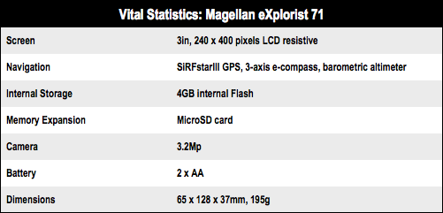
I’ve no complaints about the clarity or brightness of the 240 x 400 screen, but I’m not entirely sure I’d be comfortable relying on something with only a 3in display as my primary navigation tool. It's fine if all you are after is an indicator that You Are Here, but there’s precious little room for geographical context.
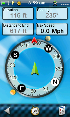
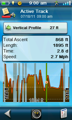
Compass and altimeter
Speaking of context, the 710 comes loaded with Magellan’s World Edition base maps which include the full road networks for North America, Western Europe and Australia and lesser coverage for the rest of God’s green. You also get the more detailed Summit and City Series maps of Western Europe. All the map data and POI information is sourced from Navteq.
The Summit topographical maps are reasonably detailed but you wouldn’t want to go Munros bagging with them and according to the World Edition map in my review unit, Bangkok has vanished.
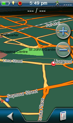
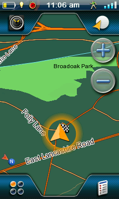
Map views
If you want Ordnance Survey coverage – and lets face it most GPS users in the UK will – there is a major cost implication that I will come back to later on.
Of course, mountaineering isn’t all the 710 is good for. Beyond routine trail navigation, it also supports paperless geocaching and can record and export GPS tracks – as GPX files for easy importing into Google Earth – as well as working as a fully-functional, if basic, turn-by-turn satnav.

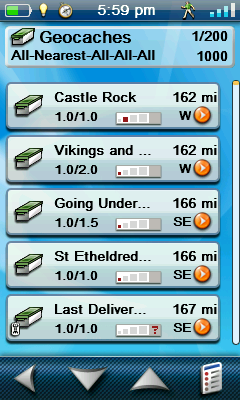
Nearby points of interests and geocaches
There’s also a decent geotagging 3.2Mp camera which can shoot video at up to 320 x 240 and a sound recorder, so you can really go to town when recording the details of your favourite waypoints.
